
Ester topographic map
Interactive map
Click on the map to display elevation.
About this map
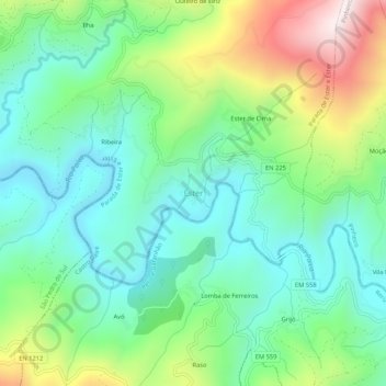
Name: Ester topographic map, elevation, terrain.
Location: Ester, Parada de Ester e Ester, Castro Daire, Viseu, Portugal (40.89543 -8.04508 40.93543 -8.00508)
Average elevation: 461 m
Minimum elevation: 234 m
Maximum elevation: 969 m