
Thank you for supporting this site ❤️
Make a donation
Make a donation
Roeland Park topographic map
Click on the map to display elevation.
Thank you for supporting this site ❤️
Make a donation
Make a donation
About this map
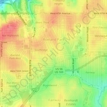
Name: Roeland Park topographic map, elevation, terrain.
Location: Roeland Park, Johnson County, Kansas, 66205, United States (39.02375 -94.65056 39.04408 -94.62116)
Average elevation: 293 m
Minimum elevation: 254 m
Maximum elevation: 317 m
Thank you for supporting this site ❤️
Make a donation
Make a donation
Other topographic maps
Click on a map to view its topography, its elevation and its terrain.