
Thank you for supporting this site ❤️
Make a donation
Make a donation
Jia topographic map
Click on the map to display elevation.
Thank you for supporting this site ❤️
Make a donation
Make a donation
About this map
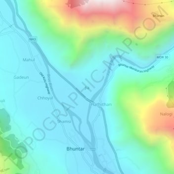
Name: Jia topographic map, elevation, terrain.
Location: Jia, Kullu, Kullu District, Himachal Pradesh, 175126, Inde (31.88166 77.12675 31.92166 77.16675)
Average elevation: 1,378 m
Minimum elevation: 1,088 m
Maximum elevation: 2,369 m
Thank you for supporting this site ❤️
Make a donation
Make a donation