
Ropley topographic map
Click on the map to display elevation.
About this map
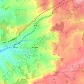
Name: Ropley topographic map, elevation, terrain.
Location: Ropley, East Hampshire, Hampshire, England, United Kingdom (51.06475 -1.10866 51.10767 -1.03404)
Average elevation: 147 m
Minimum elevation: 83 m
Maximum elevation: 204 m