
Toro topographic map
Interactive map
Click on the map to display elevation.
About this map
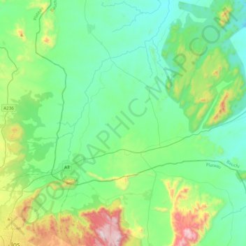
Name: Toro topographic map, elevation, terrain.
Location: Toro, Bauchi, Nigeria (10.01485 9.00771 10.19603 9.39578)
Average elevation: 943 m
Minimum elevation: 711 m
Maximum elevation: 1,754 m