
Thank you for supporting this site ❤️
Make a donation
Make a donation
Saint Terese topographic map
Click on the map to display elevation.
Thank you for supporting this site ❤️
Make a donation
Make a donation
About this map
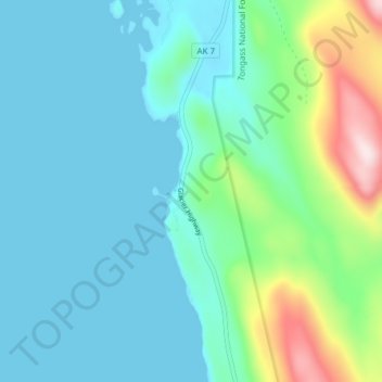
Name: Saint Terese topographic map, elevation, terrain.
Location: Saint Terese, Juneau, Alaska, United States (58.45222 -134.80028 58.49222 -134.76028)
Average elevation: 83 m
Minimum elevation: 0 m
Maximum elevation: 426 m
Thank you for supporting this site ❤️
Make a donation
Make a donation
Other topographic maps
Click on a map to view its topography, its elevation and its terrain.