
Linto topographic map
Interactive map
Click on the map to display elevation.
About this map
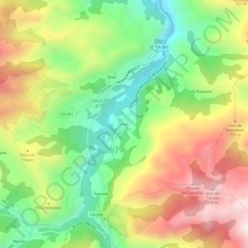
Name: Linto topographic map, elevation, terrain.
Location: Linto, Miera, Cantabria, 39728, España (43.25165 -3.72710 43.29165 -3.68710)
Average elevation: 536 m
Minimum elevation: 177 m
Maximum elevation: 974 m
Other topographic maps
Click on a map to view its topography, its elevation and its terrain.