
Thank you for supporting this site ❤️
Make a donation
Make a donation
Libur topographic map
Click on the map to display elevation.
Thank you for supporting this site ❤️
Make a donation
Make a donation
About this map
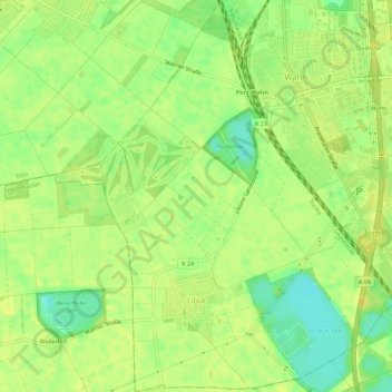
Name: Libur topographic map, elevation, terrain.
Location: Libur, Porz, Köln, Nordrhein-Westfalen, Deutschland (50.83044 7.05109 50.86577 7.09998)
Average elevation: 53 m
Minimum elevation: 39 m
Maximum elevation: 60 m
Thank you for supporting this site ❤️
Make a donation
Make a donation
Other topographic maps
Click on a map to view its topography, its elevation and its terrain.