
Thank you for supporting this site ❤️
Make a donation
Make a donation
Wallingford topographic map
Click on the map to display elevation.
Thank you for supporting this site ❤️
Make a donation
Make a donation
About this map
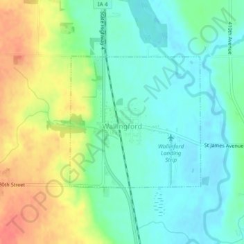
Name: Wallingford topographic map, elevation, terrain.
Location: Wallingford, Emmet County, Iowa, United States (43.31300 -94.80216 43.32757 -94.78221)
Average elevation: 398 m
Minimum elevation: 377 m
Maximum elevation: 434 m
Thank you for supporting this site ❤️
Make a donation
Make a donation