
Hamersley Range topographic map
Click on the map to display elevation.
About this map
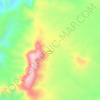
Name: Hamersley Range topographic map, elevation, terrain.
Location: Hamersley Range, Western Australia, Australia (-21.87293 116.79331 -21.87283 116.79341)
Average elevation: 511 m
Minimum elevation: 366 m
Maximum elevation: 657 m
Other topographic maps
Click on a map to view its topography, its elevation and its terrain.
Ellenbrook
The suburb sits in the south-east corner of the Gnangara Mound, close to the Darling Scarp. Topographically, the majority of Ellenbrook's area sits between 40-50 metres above sea level on the mound, with parts of Coolamon and Malvern Springs situated on hills that reach peaks of 65 metres. The northern village…
Average elevation: 49 m
Kalbarri
Kalbarri is a coastal town in the Mid West region located 592 km (368 mi) north of Perth, Western Australia. The town is located at the mouth of the Murchison River which has an elevation of 6 metres (20 ft). It is connected by public transport to Perth via Transwa coach services N1 and N2.
Average elevation: 57 m