
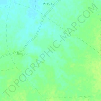
Singpur topographic map
Interactive map
Click on the map to display elevation.
About this map
Name: Singpur topographic map, elevation, terrain.
Average elevation: 366 m
Minimum elevation: 359 m
Maximum elevation: 371 m
Other topographic maps
Click on a map to view its topography, its elevation and its terrain.
Gadarwara
India > Madhya Pradesh > Gadarwara Tahsil
Gadarwara, Gadarwara Tahsil, Narsimhapur, Madhya Pradesh, 487551, India
Average elevation: 343 m