
Fukuoka topographic map
Interactive map
Click on the map to display elevation.
About this map
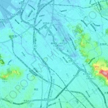
Name: Fukuoka topographic map, elevation, terrain.
Location: 博多区, Fukuoka, Préfecture de Fukuoka, Kyūshū, Japon (33.53582 130.39134 33.61693 130.48568)
Average elevation: 16 m
Minimum elevation: -6 m
Maximum elevation: 176 m