
Sauni topographic map
Click on the map to display elevation.
About this map
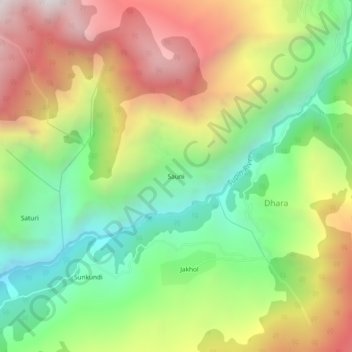
Name: Sauni topographic map, elevation, terrain.
Location: Sauni, Dhara, Mori, Uttarkashi District, Uttarakhand, India (31.10168 78.20740 31.14168 78.24740)
Average elevation: 2,421 m
Minimum elevation: 1,717 m
Maximum elevation: 3,313 m