
Amala topographic map
Click on the map to display elevation.
About this map
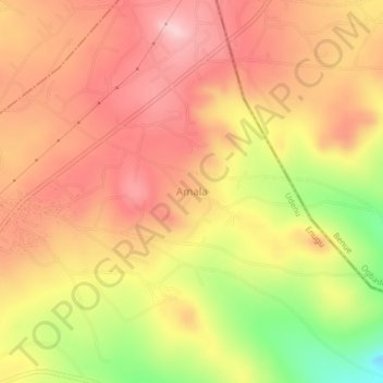
Name: Amala topographic map, elevation, terrain.
Location: Amala, Udenu, Enugu State, Nigeria (6.92270 7.53880 6.96270 7.57880)
Average elevation: 444 m
Minimum elevation: 302 m
Maximum elevation: 527 m