
Thank you for supporting this site ❤️
Make a donation
Make a donation
Budhana topographic map
Click on the map to display elevation.
Thank you for supporting this site ❤️
Make a donation
Make a donation
About this map
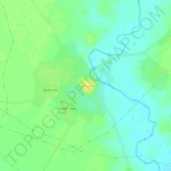
Name: Budhana topographic map, elevation, terrain.
Location: Budhana, Muzaffarnagar, Uttar Pradesh, 251309, India (29.26737 77.45557 29.30737 77.49557)
Average elevation: 233 m
Minimum elevation: 224 m
Maximum elevation: 244 m
Thank you for supporting this site ❤️
Make a donation
Make a donation