
石川町 topographic map
Interactive map
Click on the map to display elevation.
About this map
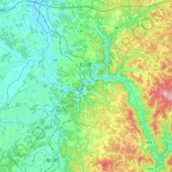
Name: 石川町 topographic map, elevation, terrain.
Location: 石川町, 石川郡, Préfecture de Fukushima, 963-7846, Japon (37.07663 140.36764 37.20337 140.53936)
Average elevation: 368 m
Minimum elevation: 254 m
Maximum elevation: 657 m