
Lac Davy topographic map
Interactive map
Click on the map to display elevation.
About this map
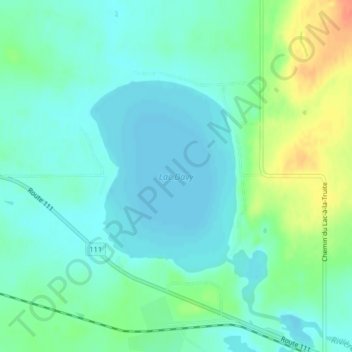
Name: Lac Davy topographic map, elevation, terrain.
Average elevation: 315 m
Minimum elevation: 302 m
Maximum elevation: 347 m
Other topographic maps
Click on a map to view its topography, its elevation and its terrain.
Lac Gauvin
Lac Gauvin, Route 111, Trécesson, Abitibi, Abitibi-Témiscamingue, Québec, J9T 2X7, Canada
Average elevation: 323 m