
Thank you for supporting this site ❤️
Make a donation
Make a donation
Gilson Groves topographic map
Click on the map to display elevation.
Thank you for supporting this site ❤️
Make a donation
Make a donation
About this map
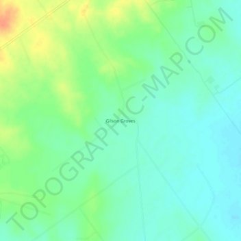
Name: Gilson Groves topographic map, elevation, terrain.
Location: Gilson Groves, Dimmit County, Texas, United States (28.24944 -99.77561 28.28944 -99.73561)
Average elevation: 181 m
Minimum elevation: 167 m
Maximum elevation: 209 m
Thank you for supporting this site ❤️
Make a donation
Make a donation
Other topographic maps
Click on a map to view its topography, its elevation and its terrain.