
Thank you for supporting this site ❤️
Make a donation
Make a donation
Breckenridge topographic map
Click on the map to display elevation.
Thank you for supporting this site ❤️
Make a donation
Make a donation
About this map
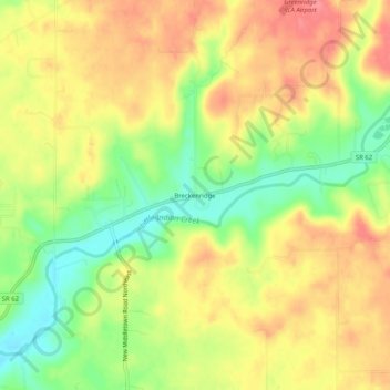
Name: Breckenridge topographic map, elevation, terrain.
Location: Breckenridge, Harrison County, Indiana, United States (38.19785 -86.05302 38.23785 -86.01302)
Average elevation: 228 m
Minimum elevation: 186 m
Maximum elevation: 262 m
Thank you for supporting this site ❤️
Make a donation
Make a donation
Other topographic maps
Click on a map to view its topography, its elevation and its terrain.