
Thank you for supporting this site ❤️
Make a donation
Make a donation
Mineola topographic map
Click on the map to display elevation.
Thank you for supporting this site ❤️
Make a donation
Make a donation
About this map
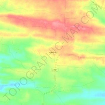
Name: Mineola topographic map, elevation, terrain.
Location: Mineola, Howard County, Arkansas, 71971, United States (34.29344 -94.05075 34.33344 -94.01075)
Average elevation: 290 m
Minimum elevation: 242 m
Maximum elevation: 330 m
Thank you for supporting this site ❤️
Make a donation
Make a donation
Other topographic maps
Click on a map to view its topography, its elevation and its terrain.