
Thank you for supporting this site ❤️
Make a donation
Make a donation
Lagrange topographic map
Click on the map to display elevation.
Thank you for supporting this site ❤️
Make a donation
Make a donation
About this map
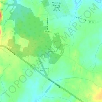
Name: Lagrange topographic map, elevation, terrain.
Location: Lagrange, Culpeper County, Virginia, 22741, United States (38.42152 -77.87305 38.46152 -77.83305)
Average elevation: 95 m
Minimum elevation: 77 m
Maximum elevation: 126 m
Thank you for supporting this site ❤️
Make a donation
Make a donation
Other topographic maps
Click on a map to view its topography, its elevation and its terrain.