
Thank you for supporting this site ❤️
Make a donation
Make a donation
Bradford topographic map
Click on the map to display elevation.
Thank you for supporting this site ❤️
Make a donation
Make a donation
About this map
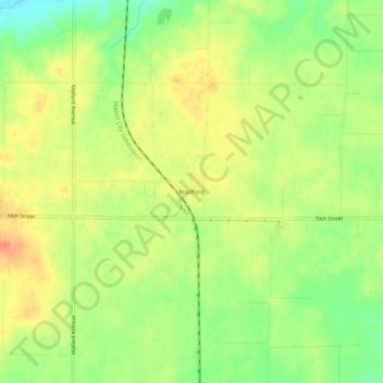
Name: Bradford topographic map, elevation, terrain.
Location: Bradford, Franklin County, Iowa, 50041, United States (42.61237 -93.26501 42.65237 -93.22501)
Average elevation: 378 m
Minimum elevation: 352 m
Maximum elevation: 399 m
Thank you for supporting this site ❤️
Make a donation
Make a donation
Other topographic maps
Click on a map to view its topography, its elevation and its terrain.
Thank you for supporting this site ❤️
Make a donation
Make a donation
Thank you for supporting this site ❤️
Make a donation
Make a donation