
Gwagwalada topographic map
Interactive map
Click on the map to display elevation.
About this map
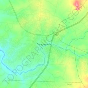
Name: Gwagwalada topographic map, elevation, terrain.
Location: Gwagwalada, Federal Capital Territory, 902101, Nigeria (8.89603 7.04591 8.97603 7.12591)
Average elevation: 196 m
Minimum elevation: 156 m
Maximum elevation: 279 m