
Thank you for supporting this site ❤️
Make a donation
Make a donation
Sumber topographic map
Click on the map to display elevation.
Thank you for supporting this site ❤️
Make a donation
Make a donation
About this map
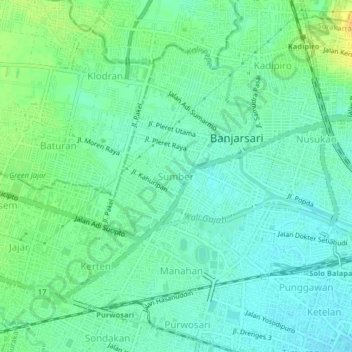
Name: Sumber topographic map, elevation, terrain.
Location: Sumber, Surakarta, Central Java, Java, 57171, Indonesia (-7.56671 110.78339 -7.52671 110.82339)
Average elevation: 102 m
Minimum elevation: 93 m
Maximum elevation: 118 m
Thank you for supporting this site ❤️
Make a donation
Make a donation