
Thank you for supporting this site ❤️
Make a donation
Make a donation
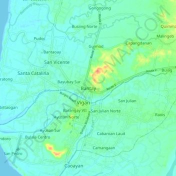
Bantay topographic map
Click on the map to display elevation.
Thank you for supporting this site ❤️
Make a donation
Make a donation
Bantay
Bantay has an average elevation of 100 meters (328.08 feet), with a land area of 7,660 hectares (18,900 acres). It is an elevated and hilly municipality but some barangays, especially those near creeks, are prone to flooding during heavy typhoons.
Thank you for supporting this site ❤️
Make a donation
Make a donation
About this map
Name: Bantay topographic map, elevation, terrain.
Location: Bantay, Ilocos Sur, Ilocos Region, 2700, Philippines (17.54202 120.34963 17.62202 120.42963)
Average elevation: 8 m
Minimum elevation: 0 m
Maximum elevation: 36 m
Thank you for supporting this site ❤️
Make a donation
Make a donation
Other topographic maps
Click on a map to view its topography, its elevation and its terrain.