
Thank you for supporting this site ❤️
Make a donation
Make a donation
Lodore Canyon topographic map
Click on the map to display elevation.
Thank you for supporting this site ❤️
Make a donation
Make a donation
About this map
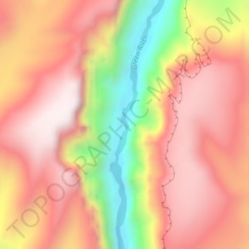
Name: Lodore Canyon topographic map, elevation, terrain.
Location: Lodore Canyon, Moffat County, Colorado, United States (40.67890 -108.91281 40.69890 -108.89281)
Average elevation: 2,065 m
Minimum elevation: 1,607 m
Maximum elevation: 2,341 m
Thank you for supporting this site ❤️
Make a donation
Make a donation