
Thank you for supporting this site ❤️
Make a donation
Make a donation
Las Enguinzas topographic map
Click on the map to display elevation.
Thank you for supporting this site ❤️
Make a donation
Make a donation
About this map
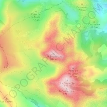
Name: Las Enguinzas topographic map, elevation, terrain.
Location: Las Enguinzas, Miera, Trasmiera, Cantabria, 39723, España (43.28816 -3.74769 43.28826 -3.74759)
Average elevation: 728 m
Minimum elevation: 499 m
Maximum elevation: 954 m
Thank you for supporting this site ❤️
Make a donation
Make a donation