
Thank you for supporting this site ❤️
Make a donation
Make a donation
Butalangu Central topographic map
Click on the map to display elevation.
Thank you for supporting this site ❤️
Make a donation
Make a donation
About this map
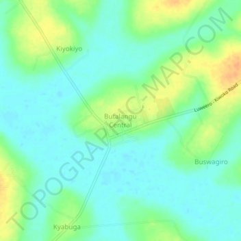
Name: Butalangu Central topographic map, elevation, terrain.
Location: Butalangu Central, Nakaseke, Central Region, Uganda (0.80556 32.22471 0.84556 32.26471)
Average elevation: 1,080 m
Minimum elevation: 1,067 m
Maximum elevation: 1,105 m
Thank you for supporting this site ❤️
Make a donation
Make a donation