
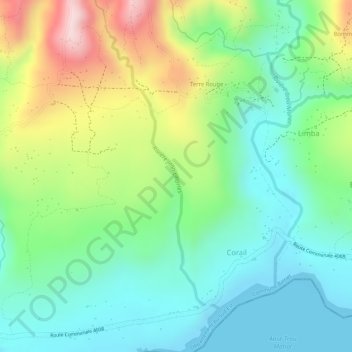
Rivière Jean Charles topographic map
Interactive map
Click on the map to display elevation.
About this map
Name: Rivière Jean Charles topographic map, elevation, terrain.
Average elevation: 121 m
Minimum elevation: 0 m
Maximum elevation: 344 m
Other topographic maps
Click on a map to view its topography, its elevation and its terrain.
La Source
Haïti > Département du Sud-Est > Commune Bainet > La Source
La Source, Commune Bainet, Arrondissement de Bainet, Département du Sud-Est, Haïti
Average elevation: 512 m