
柏社村 topographic map
Interactive map
Click on the map to display elevation.
About this map
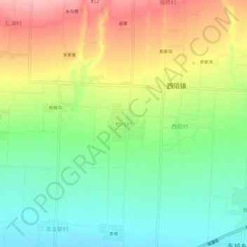
Name: 柏社村 topographic map, elevation, terrain.
Location: 柏社村, 芮城县, 运城市, 山西省, 中国 (34.71736 110.75166 34.75736 110.79166)
Average elevation: 588 m
Minimum elevation: 526 m
Maximum elevation: 673 m
Other topographic maps
Click on a map to view its topography, its elevation and its terrain.