
Thank you for supporting this site ❤️
Make a donation
Make a donation
Brashears topographic map
Click on the map to display elevation.
Thank you for supporting this site ❤️
Make a donation
Make a donation
About this map
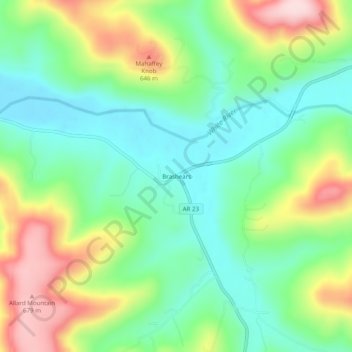
Name: Brashears topographic map, elevation, terrain.
Location: Brashears, Madison County, Arkansas, 72721, United States (35.79175 -93.81575 35.83175 -93.77575)
Average elevation: 527 m
Minimum elevation: 430 m
Maximum elevation: 700 m
Thank you for supporting this site ❤️
Make a donation
Make a donation