
Hangzhou City topographic map
Interactive map
Click on the map to display elevation.
About this map
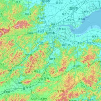
Name: Hangzhou City topographic map, elevation, terrain.
Location: Hangzhou City, Zhejiang, China (29.18883 118.33969 30.56485 120.71285)
Average elevation: 186 m
Minimum elevation: -2 m
Maximum elevation: 1,479 m