
Thank you for supporting this site ❤️
Make a donation
Make a donation
Waite Park topographic map
Click on the map to display elevation.
Thank you for supporting this site ❤️
Make a donation
Make a donation
About this map
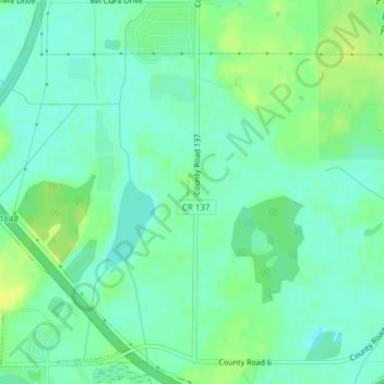
Name: Waite Park topographic map, elevation, terrain.
Location: Waite Park, Stearns County, Minnesota, 56387, United States (45.49822 -94.30979 45.56284 -94.20667)
Average elevation: 328 m
Minimum elevation: 229 m
Maximum elevation: 350 m
Thank you for supporting this site ❤️
Make a donation
Make a donation
Other topographic maps
Click on a map to view its topography, its elevation and its terrain.
Pearl Lake
United States > Minnesota > Stearns County > Maine Prairie Township
Average elevation: 343 m