
Thank you for supporting this site ❤️
Make a donation
Make a donation
Holly Hill topographic map
Click on the map to display elevation.
Thank you for supporting this site ❤️
Make a donation
Make a donation
About this map
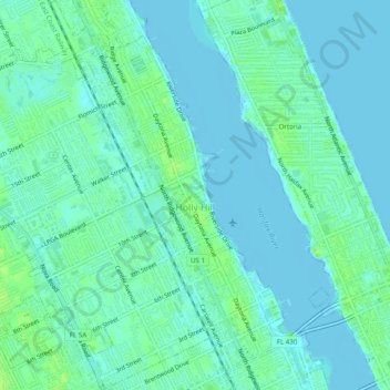
Name: Holly Hill topographic map, elevation, terrain.
Location: Holly Hill, Volusia County, Florida, 32117, United States (29.22347 -81.07375 29.26629 -81.02644)
Average elevation: 4 m
Minimum elevation: -3 m
Maximum elevation: 13 m
Thank you for supporting this site ❤️
Make a donation
Make a donation
Other topographic maps
Click on a map to view its topography, its elevation and its terrain.