
Thank you for supporting this site ❤️
Make a donation
Make a donation
Montjuvin topographic map
Click on the map to display elevation.
Thank you for supporting this site ❤️
Make a donation
Make a donation
About this map
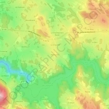
Name: Montjuvin topographic map, elevation, terrain.
Average elevation: 846 m
Minimum elevation: 743 m
Maximum elevation: 964 m
Thank you for supporting this site ❤️
Make a donation
Make a donation
Other topographic maps
Click on a map to view its topography, its elevation and its terrain.
Barrage de Lavalette
France > Auvergne-Rhône-Alpes > Haute-Loire > Lapte > L'Olagnier
Average elevation: 840 m