
Thank you for supporting this site ❤️
Make a donation
Make a donation
Kakkera topographic map
Click on the map to display elevation.
Thank you for supporting this site ❤️
Make a donation
Make a donation
About this map
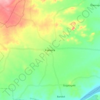
Name: Kakkera topographic map, elevation, terrain.
Location: Kakkera, Shorapur, Yadgir, Karnataka, India (16.34426 76.54949 16.42426 76.62949)
Average elevation: 409 m
Minimum elevation: 359 m
Maximum elevation: 487 m
Thank you for supporting this site ❤️
Make a donation
Make a donation