
Thank you for supporting this site ❤️
Make a donation
Make a donation
Chawton topographic map
Click on the map to display elevation.
Thank you for supporting this site ❤️
Make a donation
Make a donation
About this map
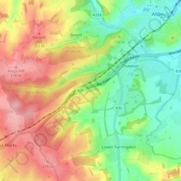
Name: Chawton topographic map, elevation, terrain.
Location: Chawton, East Hampshire, Hampshire, England, United Kingdom (51.11487 -1.04853 51.13860 -0.96513)
Average elevation: 157 m
Minimum elevation: 99 m
Maximum elevation: 224 m
Thank you for supporting this site ❤️
Make a donation
Make a donation