
Thank you for supporting this site ❤️
Make a donation
Make a donation
Seradang topographic map
Click on the map to display elevation.
Thank you for supporting this site ❤️
Make a donation
Make a donation
About this map
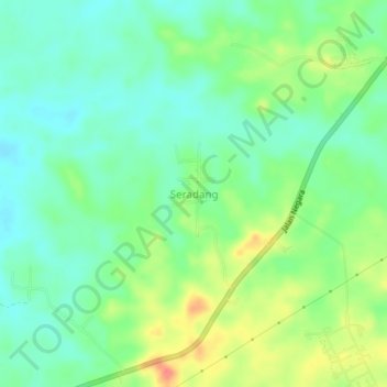
Name: Seradang topographic map, elevation, terrain.
Location: Seradang, Tabalong, South Kalimantan, Kalimantan, Indonesia (-2.06139 115.53344 -2.02139 115.57344)
Average elevation: 45 m
Minimum elevation: 23 m
Maximum elevation: 86 m
Thank you for supporting this site ❤️
Make a donation
Make a donation