
Thank you for supporting this site ❤️
Make a donation
Make a donation
Robertson Mountain topographic map
Click on the map to display elevation.
Thank you for supporting this site ❤️
Make a donation
Make a donation
About this map
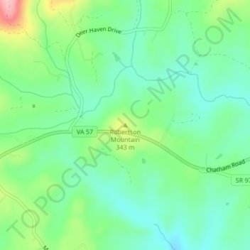
Name: Robertson Mountain topographic map, elevation, terrain.
Location: Robertson Mountain, Henry County, Virginia, United States (36.78481 -79.69008 36.78491 -79.68998)
Average elevation: 302 m
Minimum elevation: 254 m
Maximum elevation: 411 m
Thank you for supporting this site ❤️
Make a donation
Make a donation
Other topographic maps
Click on a map to view its topography, its elevation and its terrain.