
Thank you for supporting this site ❤️
Make a donation
Make a donation
Kagali topographic map
Click on the map to display elevation.
Thank you for supporting this site ❤️
Make a donation
Make a donation
About this map
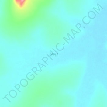
Name: Kagali topographic map, elevation, terrain.
Location: Kagali, Kyankwanzi, Central Region, Uganda (1.13904 31.79442 1.17904 31.83442)
Average elevation: 1,080 m
Minimum elevation: 1,063 m
Maximum elevation: 1,184 m
Thank you for supporting this site ❤️
Make a donation
Make a donation