
Thank you for supporting this site ❤️
Make a donation
Make a donation
Furtado topographic map
Click on the map to display elevation.
Thank you for supporting this site ❤️
Make a donation
Make a donation
About this map
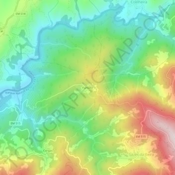
Name: Furtado topographic map, elevation, terrain.
Location: Furtado, Sandomil, Seia, Guarda, Portugal (40.34340 -7.76869 40.38340 -7.72869)
Average elevation: 508 m
Minimum elevation: 284 m
Maximum elevation: 886 m
Thank you for supporting this site ❤️
Make a donation
Make a donation