
Roxbury topographic map
Interactive map
Click on the map to display elevation.
About this map
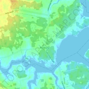
Name: Roxbury topographic map, elevation, terrain.
Location: Roxbury, Lot 6, Prince County, Prince Edward Island, Canada (46.68244 -64.13037 46.72973 -64.06064)
Average elevation: 7 m
Minimum elevation: -2 m
Maximum elevation: 25 m