
程家窑 topographic map
Interactive map
Click on the map to display elevation.
About this map
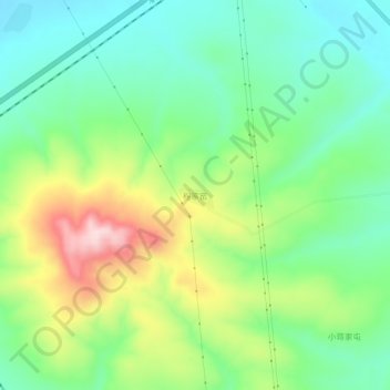
Name: 程家窑 topographic map, elevation, terrain.
Location: 程家窑, 右玉县, 朔州市, 山西省, 中国 (40.00802 112.36134 40.04802 112.40134)
Average elevation: 1,397 m
Minimum elevation: 1,298 m
Maximum elevation: 1,584 m
Other topographic maps
Click on a map to view its topography, its elevation and its terrain.