
Thank you for supporting this site ❤️
Make a donation
Make a donation
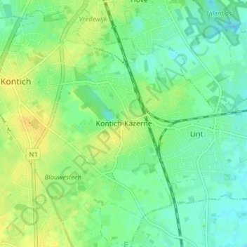
Kontich-Kazerne topographic map
Click on the map to display elevation.
Thank you for supporting this site ❤️
Make a donation
Make a donation
Kontich-Kazerne
De Bautersemsebeek ontspringt in het bronnengebied Bautersem en het Broekbos. Ze verlaat Kontich-Kazerne nabij Alfacam naar Lint. Daarnaast stroomt ook de Babbelkroonbeek, die in Waarloos ontspringt, door de wijk en verlaat deze ter hoogte van het Kapellekesbos eveneens richting Lint.
Thank you for supporting this site ❤️
Make a donation
Make a donation
About this map
Name: Kontich-Kazerne topographic map, elevation, terrain.
Location: Kontich-Kazerne, Kontich, Antwerpen, Vlaanderen, 2540, België (51.10853 4.45343 51.14853 4.49343)
Average elevation: 14 m
Minimum elevation: 5 m
Maximum elevation: 25 m
Thank you for supporting this site ❤️
Make a donation
Make a donation
Other topographic maps
Click on a map to view its topography, its elevation and its terrain.