
Thank you for supporting this site ❤️
Make a donation
Make a donation
Barnett Springs topographic map
Click on the map to display elevation.
Thank you for supporting this site ❤️
Make a donation
Make a donation
About this map
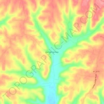
Name: Barnett Springs topographic map, elevation, terrain.
Location: Barnett Springs, Adair County, Kentucky, United States (37.22201 -85.11135 37.26201 -85.07135)
Average elevation: 285 m
Minimum elevation: 226 m
Maximum elevation: 325 m
Thank you for supporting this site ❤️
Make a donation
Make a donation