
Thank you for supporting this site ❤️
Make a donation
Make a donation
Svensen topographic map
Click on the map to display elevation.
Thank you for supporting this site ❤️
Make a donation
Make a donation
About this map
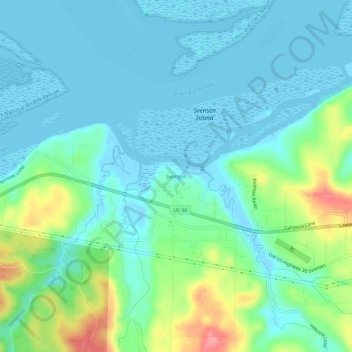
Name: Svensen topographic map, elevation, terrain.
Location: Svensen, Clatsop County, Oregon, United States (46.15045 -123.67982 46.19045 -123.63982)
Average elevation: 21 m
Minimum elevation: -5 m
Maximum elevation: 89 m
Thank you for supporting this site ❤️
Make a donation
Make a donation
Other topographic maps
Click on a map to view its topography, its elevation and its terrain.