
Thank you for supporting this site ❤️
Make a donation
Make a donation
Coal Mountain topographic map
Click on the map to display elevation.
Thank you for supporting this site ❤️
Make a donation
Make a donation
About this map
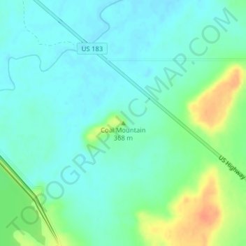
Name: Coal Mountain topographic map, elevation, terrain.
Location: Coal Mountain, Stephens County, Texas, United States (32.82840 -98.94345 32.82850 -98.94335)
Average elevation: 354 m
Minimum elevation: 342 m
Maximum elevation: 383 m
Thank you for supporting this site ❤️
Make a donation
Make a donation