
Umuahia North topographic map
Interactive map
Click on the map to display elevation.
About this map
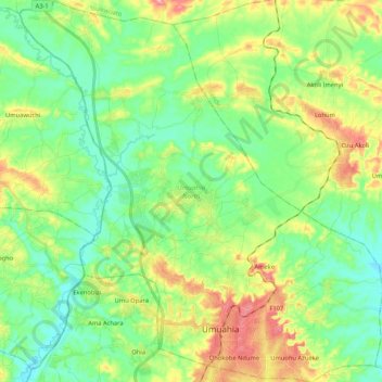
Name: Umuahia North topographic map, elevation, terrain.
Location: Umuahia North, Abia, Nigeria (5.50312 7.38161 5.71271 7.58195)
Average elevation: 95 m
Minimum elevation: 47 m
Maximum elevation: 193 m