
Thank you for supporting this site ❤️
Make a donation
Make a donation
Sparrow topographic map
Click on the map to display elevation.
Thank you for supporting this site ❤️
Make a donation
Make a donation
About this map
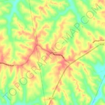
Name: Sparrow topographic map, elevation, terrain.
Location: Sparrow, Anderson County, Kentucky, United States (37.90396 -85.17079 37.94396 -85.13079)
Average elevation: 230 m
Minimum elevation: 193 m
Maximum elevation: 257 m
Thank you for supporting this site ❤️
Make a donation
Make a donation