
Thank you for supporting this site ❤️
Make a donation
Make a donation
Cedar Knolls topographic map
Click on the map to display elevation.
Thank you for supporting this site ❤️
Make a donation
Make a donation
About this map
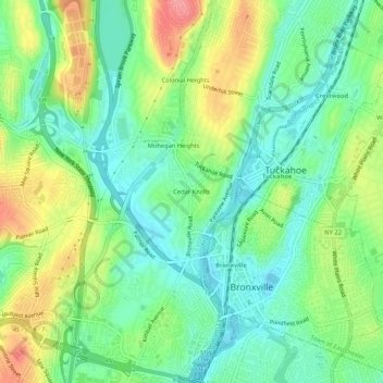
Name: Cedar Knolls topographic map, elevation, terrain.
Average elevation: 57 m
Minimum elevation: 24 m
Maximum elevation: 112 m
Thank you for supporting this site ❤️
Make a donation
Make a donation
Other topographic maps
Click on a map to view its topography, its elevation and its terrain.
Getty Square
United States > New York > Westchester County > City of Yonkers > Ludlow
Average elevation: 31 m